What kind of equipment is the GNSS displacement monitoring and early warning system
2025-09-15 08:44:29
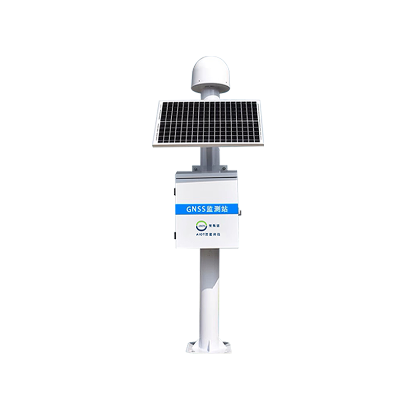
The GNSS displacement monitoring station utilizes high-precision positioning technology for geological hazard deformation monitoring system. By continuous observation, detailed recording and comparative analysis of position data at different time points, extremely small displacement changes occurring on the surface or crust can be accurately calculated. Through high-precision monitoring capabilities, early signs of geological disasters can be captured in real time, and warning information can be issued in a timely manner, effectively enhancing the prevention and response capabilities to geological disasters. Ensure the safety of people´s lives and property. Continuous and precise monitoring plays a crucial role in geological hazard warning and prevention work.
Product Features
High precision: It can achieve millimeter level or even higher precision displacement monitoring, ensuring the accuracy of data;
Real time: Send monitoring data to the monitoring center or cloud platform in a timely manner to achieve real-time monitoring and early warning;
24/7: Unrestricted by weather conditions, able to work stably in various harsh environments;
Automation: capable of long-term stable operation without human supervision;
Data collection and analysis: Automatically complete tasks such as data collection, transmission, processing, and analysis.
System functions
real-time monitoring
Real time acquisition of surface displacement data, and real-time monitoring and analysis of the occurrence and development trends of geological disasters such as landslides, collapses, and subsidence through high-precision monitoring technology.
Timely warning
Through data analysis and model prediction, it is possible to accurately determine the likelihood of geological disasters and provide warning information. Once anomalies are detected, such as a significant increase in displacement rate, warning information is immediately generated and relevant management personnel are notified through various channels (such as SMS, email, mobile applications, etc.) to provide decision-making basis for relevant departments and personnel, and timely take corresponding disaster prevention and mitigation measures,
Data analysis and visualization
Real time collection and processing of surface displacement data, using charts, maps, and other visualization tools to transform complex data into intuitive images, helping management personnel better understand and analyze monitoring results.
Multi terminal access and linkage
Data can be viewed at any time through mobile phones, tablets, and other terminals to achieve remote monitoring and management. At the same time, it can be linked with other related systems (such as meteorological forecasting systems, emergency management systems, etc.) to achieve data sharing and integration, further improving the efficiency and accuracy of geological hazard monitoring. This multi terminal access and multi system linkage function greatly improves the speed and effectiveness of geological disaster emergency response, providing strong technical support for disaster prevention and reduction work.
Keyword: